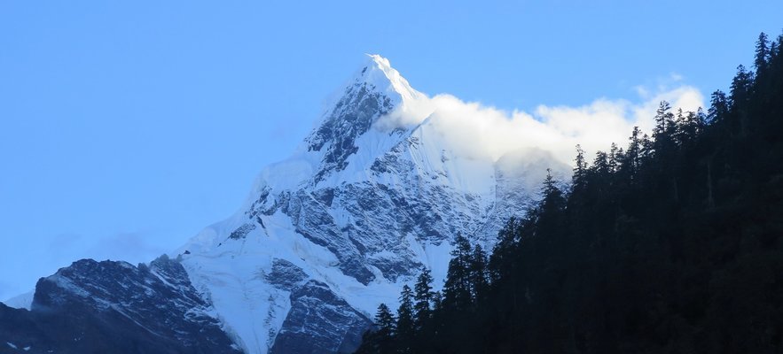
Many visitors come to Yunnan to combine their stay with a trek. While the majority has heard of or visited and hiked the Tiger Leaping Gorge, further interesting treks can be found further up in the north close to Tibet and Yunnan's highest peak, Meili Snow Mountain, about 200 km north of Shangri-La. The trek in the Meili Snow Mountain National Park can be done via various routes. It is recommended to start the circle trek in the village of Ninong and follow the path in clockwise direction. Depending on what places you'd like to walk to and whether or not you need a day for a rest, allow 2 to 6 days for the hike.

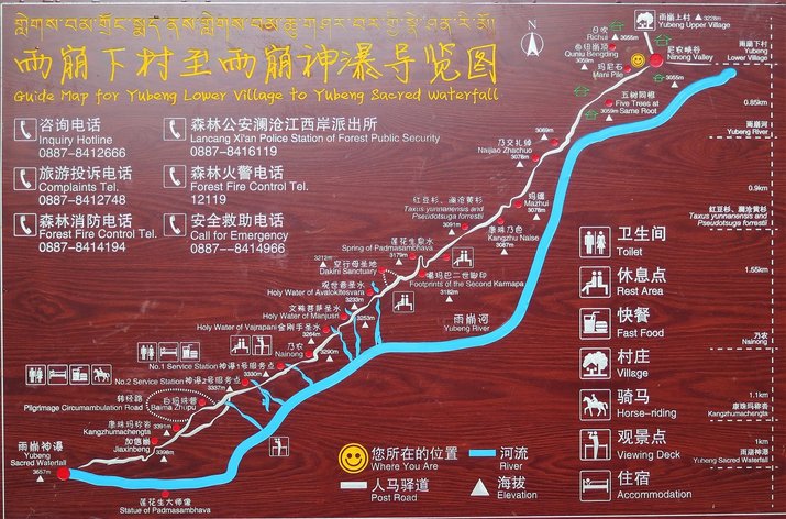
(a larger version of the map can be found here)
Suggested Hiking Route:
Day 1: Ninong - Lower Yubeng (about 6 hours, 15 km, altitude difference 1000 m up)
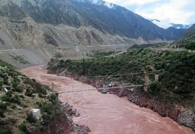
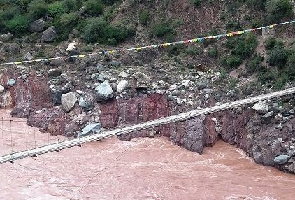
Ninong is a small village nestled at the western banks of the Mekong River, locally called Lancang Jiang (澜沧江). Currently, there is no ticket office here as at the official entrance a couple of kilometers north of Xidang (西当). So entering the national park in Ninong is free of charge (status autumn 2016). Minibuses from Deqin to Ninong leave regularly (about 45 minutes, 25 km). Ninong and the river valley are already on an elevation of slightly over 2000 meters. From here, follow the trail south, parralel to the Mekong River until you reach the canyon of the Yubeng River after nearly 4 km. The trail leads you directly to Lower Yubeng at an elevation of almost 3100 m) where simple guesthouses also offering food, kiosks and a small temple can be found.
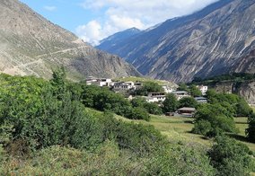
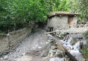
Day 2: Lower Yubeng - Sacred Waterfall - Upper Yubeng (about 6.5 hours, 13 km, altitude difference 600 m up and down again)
This day hike leads you into a valley which is a dead end, so the same path has to be taken back again. From Lower Yubeng, follow the signs and enter the valley to the Sacred Waterfall, which can be reached after about 4 hours of uphill trekking (up to an elevation of 3650 m). For those who'd like to stay overnight up here, simple tents and huts are set up (see map below: No 1 & No 2 Service Station). The hike back down to Lower Yubeng takes about 2 hours. To Upper Yubeng with further accommodation and eateries, it takes another 30 minutes by foot, short but steep.
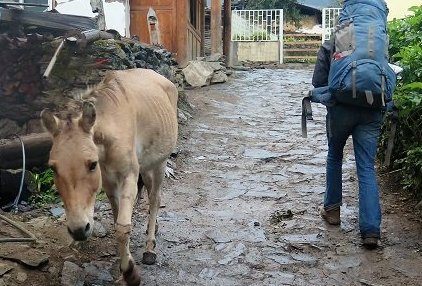
For this part of the trek, also guided mules can be rented (about 150 RMB per person).
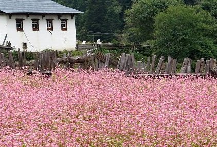
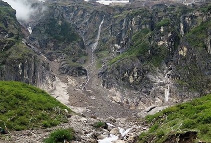
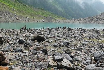
Day 3: Upper Yubeng - Glacier Lake - Upper Yubeng (about 6.5 hours, 15 km, altitude difference 800m up and down again)
The second popular day hike is considered as one of the highlights of the area: climb up a steep mountain slope to the Glacier Lake at 3900m before heading down the same route again back to Upper Yubeng. Instead of walking, renting a mule is also possible for this part of the trek (about 200 RMB per person).
Day 4: Upper Yubeng - Xidang Hot Spring - Xidang Village (about 5.5 hours, 15 km, altitude difference 700 m up and 1500 m down)
From Upper Yubeng, follow the signs to Xidang up the hill east again (opposite direction as shown on below map).

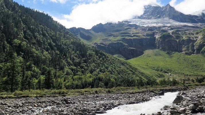
Enjoy the great panorama of the snow caped Meili Mountain Range from over 3700 m before starting the descent down through the forest to Xidang Hot Spring where the path ends. From here, simply follow the paved and winding road down for another 5 km to Xidang Village where further hotels, guesthouses and small shops can be found. If you had enough of hiking, end your hike here and catch a minubus to get driven back to Feilai Temple or Deqin (about 1.5 hours, public buses for 20 RMB per person only leave in the mornings from Xidang Village, a private lift costs around 150 RMB).


Day 5: Xidang Village - Ninong (about 3 hous, 10 km, hardly any altitude difference)
Close the circle and head south from Xidang, parallel to the Mekong River on a gravel road or smaller paths along the hill side until you reach Ninong Village again. From here, minivans can be taken back to Deqin again (arout 80 RMB).
Note:
Be prepared for abruptly changing alpine weather. While it is only possible to do the trek from about April/May to September/October, rain during these summer months can cause landslides. Rain gear, the complete sun protection set (hat, lotion, long clothes etc.) as well as good hiking boots and sticks are recommended.
This trek can be done without a tour guide, if you want to play it safe though, let us arrange one for you. For further services as hotel arrangements, transfers or flight, bus or train tickets please contact us directly.
- 8352 reads
- Like this


