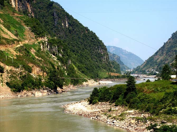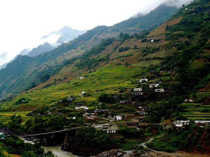
Nujiang Lisu Autonomous Prefecture is an autonomous prefecture in the very west of Yunnan Province. It is named after the Nujiang River and the Lisu ethnic minority group. It is also called Salween River.

Nujiang is a river, about 2,815 kilometres long, that flows from the Tibetan Plateau into the Andaman Sea in southern Myanmar. It drains a narrow and mountainous watershed that extends into the countries of China, Myanmar and Thailand. Its extensive drainage basin supports a biodiversity comparable with the more famous Mekong and is home to about 7 million people. In 2003, key parts of the mid-region watershed of the river were included within the Three Parallel Rivers of Yunnan Protected Areas, a UNESCO World Heritage Site.

History
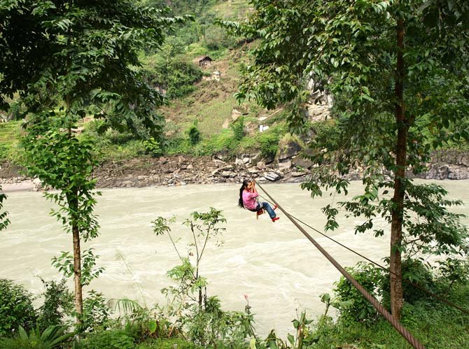
Indigenous people have been living on the river for decades. The river has served as the only connection between villages in the region for thousands of years. Although unnavigable by larger craft such as barges or ferries, the river was widely used for transportation by small boats, because the rugged surrounding terrain had no major roads or paths. The southern part of the river has often been the setting of conflicts between the Burmese and Thai over political issues. The majority of the population living on the river has always been very poor and the region remains largely agricultural.
The river canyon was the scene of the Salween Campaign in Worldwar II, a battle fought by the Chinese against Japan in 1944–1945 in order to open up the blockaded Burma Road supply route from India, in combination with a second campaign to remove Japanese forces from northern Burma, now Myanmar. During the war, this important route was the primary artery along which supplies travelled into Yunnan and then into the heart of China.
The Campaign involved Chinese troops, assisted by American forces, crossing the upper Salween on 11 May 1944 in order to drive Japanese forces from Yunnan into northern Burma. On 11 May, about 40,000 Chinese of the Chinese Expeditionary Force crossed the Salween initially and a further 60,000 arrived later. About 17,000–19,000 Chinese and 15,000 Japanese were killed in the resulting battle. The higher number of Chinese casualties was caused by the fact that the Japanese had time to prepare their fortifications on the south side of the river. The Chinese continued to take towns and cities on the river back from Japan through 1945.

Many of the natural resources in the Salween basin remained unexploited until the twentieth century as well. Prior to extensive logging activity in the upper watershed, the Salween's flow varied much less between the rainy and dry seasons, allowing for fertile riverbanks fed by soil deposits from the river. With the clear-cutting of the forests during the 20th century, specifically in 1997, soil began to erode away in great amounts and was unable to hold water, thus lowering the river's baseflow during the dry season and causing floods of greater size during the monsoon. The erosion has also made the Salween very silty. The construction of logging roads made it even easier for Burmese interests to enter the area, exploiting other resources and severely damaging the native way of life. Although strict limitations have been imposed on logging, illegal practices continue, including one in 2009 involving the discovery of teak logs floating in the river on the Thailand-Burma border.
(wikipedia)
- 1075 reads
